Providing Accuracy Through Proven Surveying Methods
GeoPro Mapping Solutions ensures accuracy on every mapping project by utilizing survey grade GPS equipment. Companies that embrace accuracy through surveying methods in their drone operations quickly realize the inherent value.
Aerial Mapping and Consulting
FAA Licensed - MSHA Certified | Insured - Experienced
Services Offered
Aerial Mapping
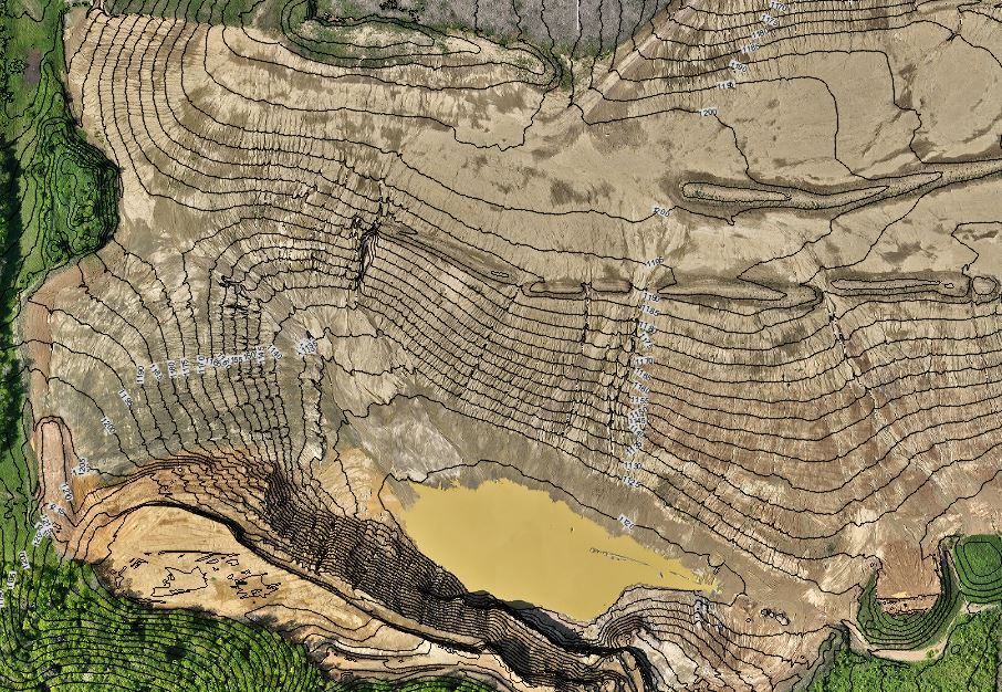
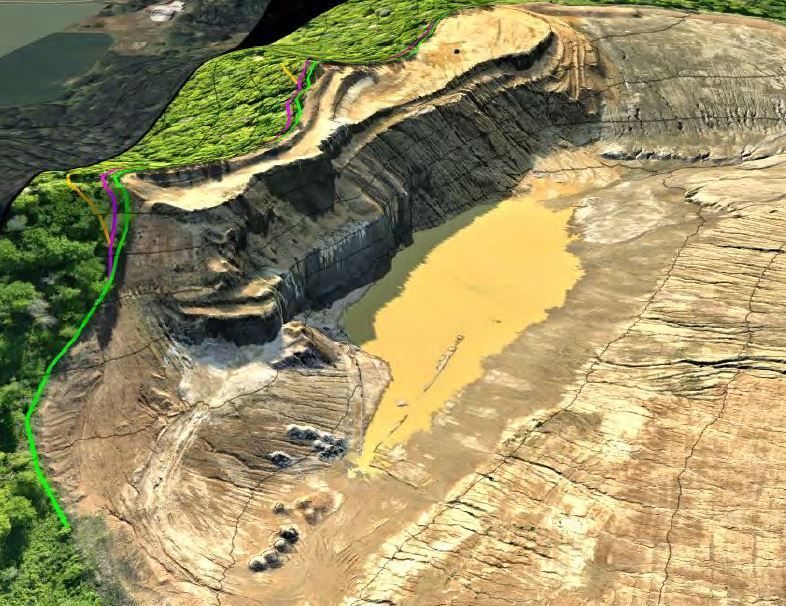
GeoPro specializes in aerial mapping with drones utilizing procedures that are above and beyond the industry standard. The roots of GeoPro is in land surveying, so the accuracy of the data is a top priority in every flight. Click below to see how we are different from other drone service providers.
Consulting
As a consultant, we can analyze the data generated from a drone, manned aircraft, or traditional topographic surveying methods to generate decision making maps and data. These can be used for planning, corporate meetings and reports, permits related needs, etc.
Aerial Mapping and Consulting
With all the hype in the industry about what drones can offer it is very important that the service provider you chose is providing accurate data that you expect and they are claiming they can do. I have seen too many times that there are great salesmen and a lot of money put into marketing but the actual product doesn't live up to what they promised.

Phone: (715) 492-0504