Consulting
GeoPro Mapping Solutions doesn't only specializes in creating aerial data but also specializes in using the data. As a consultant, we can analyze the data generated from a drone, manned aircraft, or traditional topographic surveying methods to generate decision making maps and data.
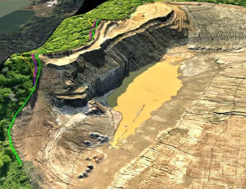
Consulting Services
- Professional map creation
- Mine Planning and analysis
- Volume calculations (Drone, LiDAR or GPS)
- Stockpiles
- Throughout the year
- Year-end reporting
- Audit inventory counts
- Reserve estimates
- Overburden estimates
- Storage estimates
- Site planning
- Site analysis
- Annual, biannual, or quarterly reports where material estimates are needed
- Manned aircraft ground control and targets for large mapping areas
- Heavy equipment GPS guidance knowledge and design creation
- Trimble grade control model building and design generation from design plans for the use in GPS rover and GPS machine control.

Phone: (715) 492-0504